Professional Drone Pilot & Advanced Photogrammetry
₹70,800.00
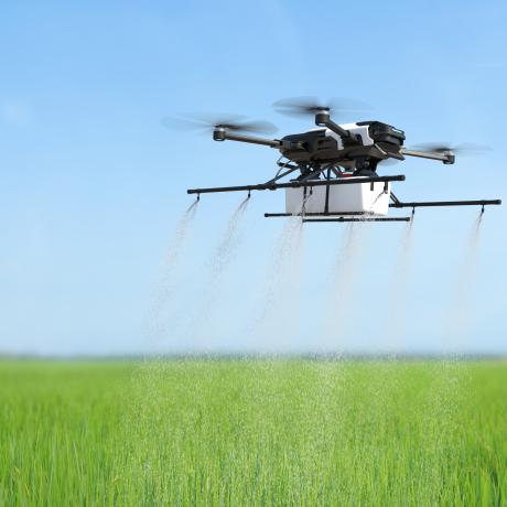
Course Overview
In this comprehensive program, we’ll dive deep into the world of professional drone piloting and advanced photogrammetry techniques. By the end of this course, you’ll be equipped with the skills needed to excel as a professional drone pilot and create intricate 3D models using advanced photogrammetry methods
Course Duration – 20 Working Days
Eligibility Criteria
-
Class X Pass
-
Age 18–65 yrs
-
Valid Indian Passport Holders (Preferred)
The above mentioned price is including 18% GST
Guaranteed safe checkout


Description
Description
A specialized program that dives deep into high-precision mapping, 3D modeling, and volumetric analysis. Learners are trained to process drone data using advanced photogrammetry workflows for accurate outputs.The course emphasizes industry-standard accuracy requirements used in mining, smart cities, infrastructure development, and environmental studies.
Best suited for professionals seeking expertise in advanced geospatial deliverables.
Module 1:
Advanced Drone Piloting Techniques
-
Mastering Precision Flight Control
-
Dynamic Flight Manoeuvres for Complex Environments
-
Advanced GPS Navigation and Waypoint Missions.
Module 2:
Photogrammetry Fundamentals Review
-
Recap of Photogrammetry Basics
-
Exploring Camera Settings for Optimal Results
-
Understanding Lens Distortion and Calibration.
Module 3:
Capturing Challenging Environments
-
Mapping in Urban and Dense Areas
-
Aerial Mapping in Forested and Vegetated Zones
-
Coastal and Water Body Mapping Challenges.
Module 4:
High-Resolution Imaging
-
Using High-Resolution Cameras for Enhanced Detail
-
Overcoming Challenges of High-Altitude Mapping
-
Data Management for Large Image Datasets
Module 5:
Point Cloud Generation and Processing
-
Generating and Working with Point Clouds
-
Filtering and Classifying Point Cloud Data
-
Creating 3D Meshes from Point Clouds..
Module 6:
Creating Accurate Ortho mosaics
-
Advanced Ortho mosaic Generation Techniques
-
Dealing with Terrain Variation and Complex Topography
-
Seamline Optimization and Eliminating Stitching Artifacts.
Module 7:
3D Model Texturing and Enhancement
-
Applying Realistic Textures to 3D Models
-
Adding Ground Truth Data for Improved Accuracy
-
Incorporating RGB and Multispectral Imagery.
Module 8:
Specialized Applications and Industries
-
Archaeological Site Reconstruction
-
Disaster Relief and Emergency Response Mapping
-
Mining and Quarrying Volume Calculations.
Module 9:
Data Analysis and Interpretation
-
Analysing Elevation Data for Slope Analysis
-
Identifying Vegetation Health and Stress Patterns
-
Extracting Measurements and Dimensions from Models.
Module 10:
Project Management and Collaboration
-
Managing Complex Photogrammetry Projects
-
Collaborating with GIS Professionals and Surveyors
-
Client Communication and Reporting.
Module 11:
Final Assessment and Certification
Delivery Info
- Standard and Express delivery services are available for all items.
- Shipping costs are calculated at the checkout page (after delivery option & destination confirmation).
- Tracking is available for all delivery options.
- Items are delivered during standard business hours.